Engin Oksuz
Senior Robotics & Autonomy Engineer. Perception and localization for unstructured and GNSS-degraded field robots — UGV and UAV.
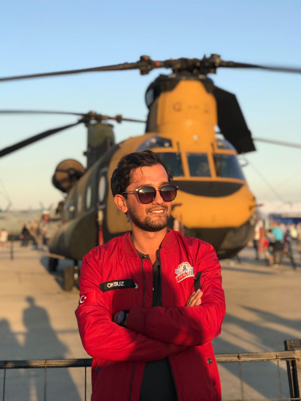
I work on perception and localization for machines that operate off the map: unstructured terrain and GNSS-degraded air. C++, ROS 2, and Jetson. I do not build the vehicle.
I am a robotics software engineer at HAVELSAN — Robotics and Autonomous Systems. Employer UGV and UAV programs are confidential. I own perception and localization pieces — I do not lead the platform.
Public work is listed under Projects. SIU 2026 is the field paper. Open-benchmark air and ground localization pages are for reproducible eval without employer data. An uncertainty-aware off-road semantics dataset project is in progress; it is not the employer stack.
What I can show
- Field UAV map-aided localization vs RTK — SIU 2026
- Public UAV geo-localization — OrthoLoC + AerialVL
- Public ground localization — MulRan / UrbanNav, GPS on vs denied
- Perception demos (follow-me, etc.) under Projects; not a substitute for the localization pages above
Focus
- Visual and LiDAR–inertial localization, including GNSS-denied stretches
- Multi-modal sensor fusion (camera, LiDAR, IMU, GNSS when available)
- Onboard vision: segmentation and tracking, TensorRT on Jetson
- Map-aided UAV localization against satellite / orthophoto geodata (SIU 2026, public benchmarks)
Not here
Employer platform names, traversability / risk / world-model internals, and papers still under review.
Skills
Languages: C++, Python, Bash
Robotics: ROS 1/2, Docker, Ubuntu, Git
Perception / ML: PyTorch, OpenCV, PCL, Open3D, DINOv2, SAM2, YOLO, ONNX Runtime, TensorRT, CUDA
Estimation: LiDAR–inertial SLAM, EKF / pose-graph fusion, visual geo-localization
Hardware: Jetson AGX/NX, Velodyne / Robosense, industrial cameras, Applanix / SBG, SmartMicro radar
news
| Jul 15, 2026 | Paper accepted at SIU 2026: Deep Visual Localization for UAVs in GNSS-Denied Environments Using Satellite Imagery |
|---|---|
| Feb 12, 2026 | New Project: Crazyflie Flight Tests and Experiments |
| Feb 04, 2026 | New Project: GNSS-Denied Visual Localization for UAVs using Satellite Imagery |
| Dec 06, 2025 | New Project: Follow-Me Robot Using YOLOv11, SAM2, and Visual Servo Control |
| Oct 01, 2024 | New Project: Deep Reinforcement Learning for Mobile Robot Navigation |
selected publications
-
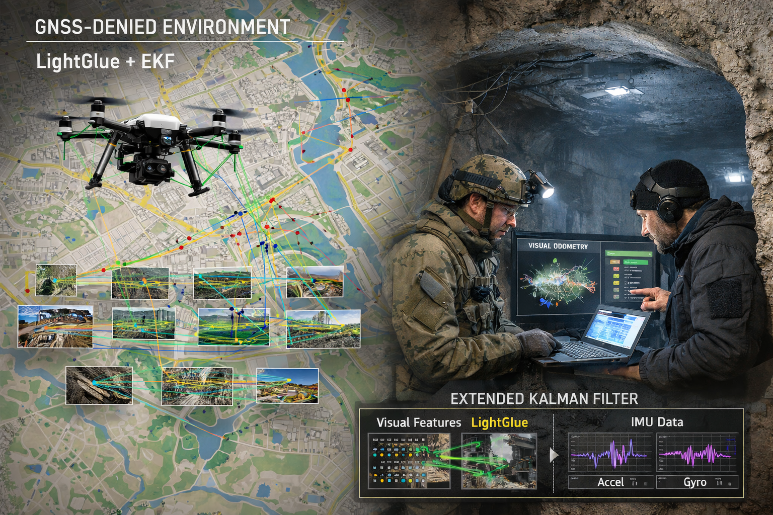 Deep Visual Localization for UAVs in GNSS-Denied Environments Using Satellite ImageryIn 34th Signal Processing and Communications Applications Conference (SIU), 2026