UAV Visual Geo-Localization on Public Benchmarks (OrthoLoC + AerialVL)
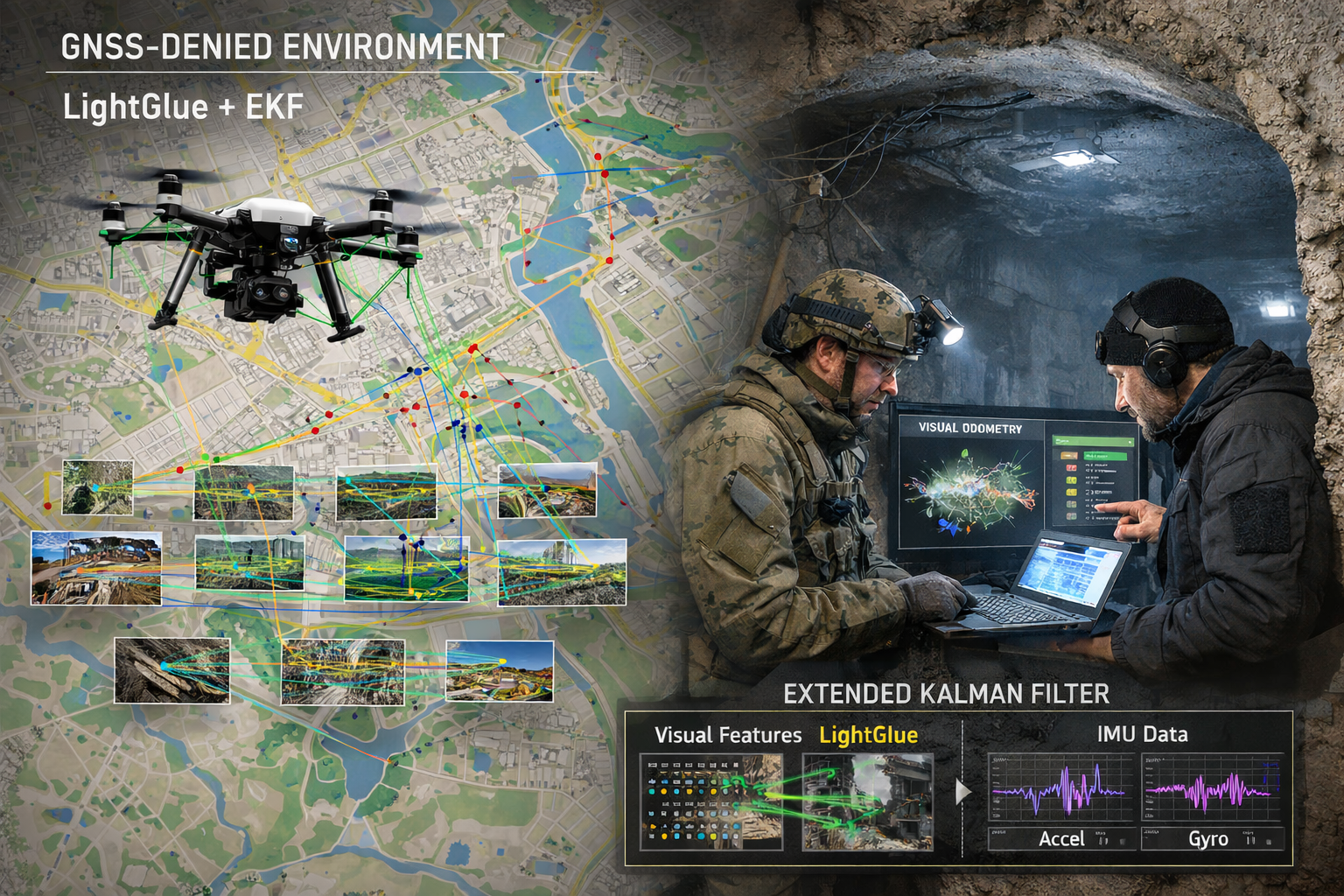
Absolute UAV pose from camera-to-orthophoto registration on OrthoLoC and AerialVL. Prior-guided map warping, SuperPoint–LightGlue, DSM-lifted EPnP + RANSAC, and a gated track filter. The open-data counterpart of the SIU 2026 field system.